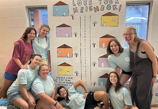
This past weekend myself and 12 other girls from my squad hiked the third largest volcano in central America! The summit of Acatenango is 13,000 feet, and even though we didn’t camp there, we were still just under 13,000 feet over night.
We left the AIM base at 5:00 am Saturday morning and started hiking at 6:15am. We all had our big packs with tents, sleeping bags, sleeping pads, water, food, and lots of layers. The boys from our squad hiked it the weekend before us, and told us that is was insanely difficult and really cold at the top.
The hike was definitely the most physically challenging thing I’ve done, but it was also the best and most accomplished thing I’ve done. The volcano is extinct, so it wasn’t dangerous because of possible eruptions, but it’s insanely steep for its height, and almost the entire trail was made out of loose, black, gravel. Going up, you would take one step forward and slide half a step back in the sand. Other parts of the trail were dirt, but it was still straight up.
The hike took us six hours total, and when we arrived at the base camp we set up our tents and ate lunch. Our guide told us to rest, get some sleep, and get accustomed to the altitude, but because we were so high above the clouds it was ridiculously hot. Most of us tried to sleep but gave up because of the heat in our tents. We hung out at the camp, took pictures of the volcanoes, and ate Oreos.
One other girl and I, Kelsey, decided to hike the summit. The summit is about an extra hour of a hike, and is the literal peak of the volcano. The entire hike is gravel and straight up with no cross backs to take away some of the height. It was difficult, but we also didn’t have our packs so that helped a lot.
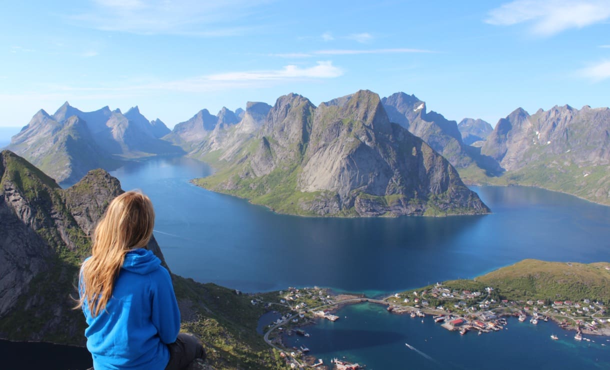
The view from 13,000 feet was indescribable. We could see several other volcanoes peeking through the clouds, as well as the Pacific Ocean. The rest of the world was covered in a blanket of clouds as far as we could see.
The top of Acatenango has a huge crater in it from the last time it erupted, and off to the side of where we hiked the summit had another huge crater that was from the last and final time it erupted, 43 years ago. Our guide said it was much worse than Fuego’s eruption last May, and parts of it are still smoking and cooling.
From both the summit and our base camp we had front row seats to Fuego, Agua, and Picaya in the back, Guatemala’s three active volcanoes out of over thirty within its borders. Fuego erupts daily, and usually we can see the smoke from our base, but being so close to the volcano was incredible. Especially at night when you could see the lava flowing down the sides. Parts of Fuego are still smoking too, and you can see how brown and burnt the top of the volcano is and where the vegetation starts again. Agua was also right to the side of us, but she doesn’t erupt often, and despite how small Picaya is in comparison, it was active almost the entire night.
Not many of us slept well on Acatenango because of the cold after the sun goes down, and because there were a lot of loud camps around us, but we got up at 5:15am to watch the sunrise and be on our way down the volcano by 6:00am. We made it down in two hours (much faster, but somehow almost harder than hiking up), and were back to base by 9:30am.
Acatenango was not a restful final weekend in Guatemala before our last few days of ministry, but I loved it nonetheless. I grew up taking trips to the Boundary Waters in Minnesota, but I’ve never hiked mountains, let alone volcanoes. I’ve also never been that high up before. Thankfully none of us experienced altitude sickness, just some shortness of break and headaches. I didn’t even notice a difference in the air quality apart from a headache once we reached our campsite.
I loved (almost) every minute of the hike and would definitely do it again, but not for a while.
Enjoy the views!